


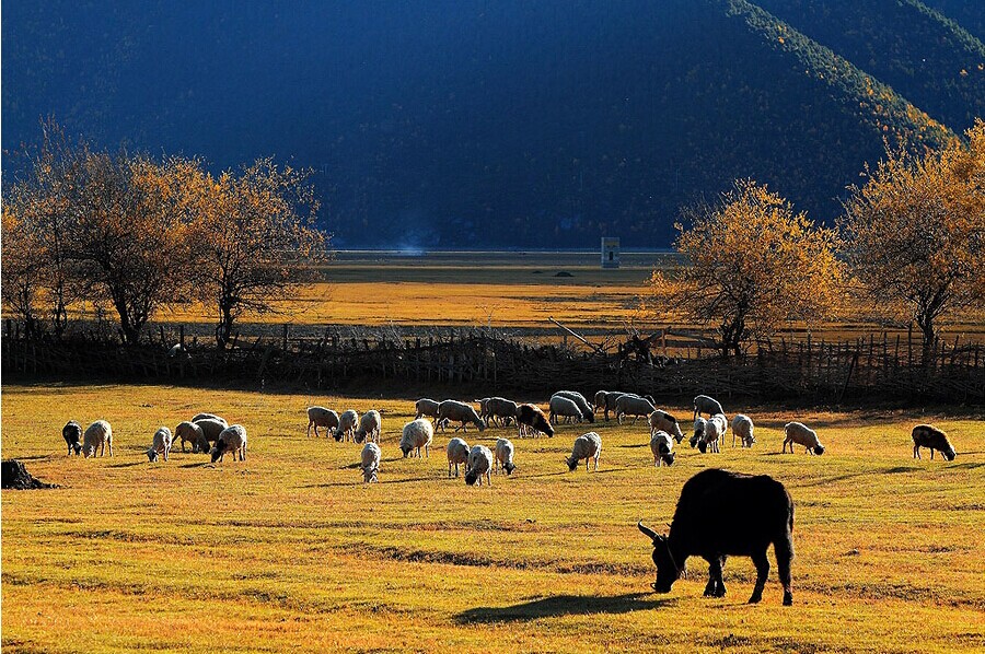
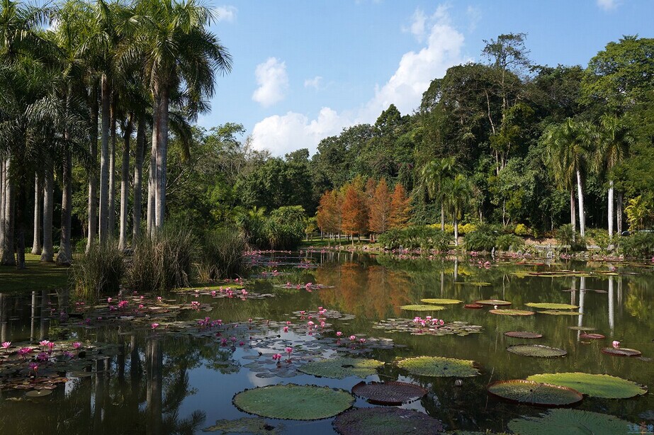
Yunnan has a diverse topography that ranges from alpine mountain ranges to tropical rainforests and the greatest number of plant species in China (more than 18,000) as well as an incredible array of animals, including the Asian elephant and the protected Yunnan golden monkey. There is even a rainforest in the area known as Xishuangbanna where you will find many rare and endangered species of plants and animals.
The terrain is largely mountainous, especially in the north and west. A series of high mountain chains spreads across the province. There is a distinct canyon region to the west and a plateau region to the east. Yunnan's major rivers flow through the deep valleys between the mountains.
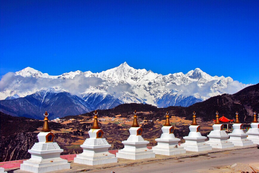
The average elevation is 1,980 metres (6,500 ft). The mountains are highest in the north where they reach more than 5,000 m (16,000 ft); in the south they rise no higher than 3,000 m (9,800 ft). The highest point in the north is the Kawagebo Peak in Deqin County on the Diqing Plateau, which is about 6,740 m (22,110 ft); and the lowest is in the Red River Valley in Hekou County, near the Vietnamese border, with an elevation of 76.4 m (251 ft).
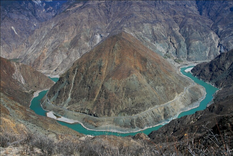
The eastern half of the province is a limestone plateau with karst scenery and unnavigable rivers flowing through deep mountain gorges; the western half is characterised by mountain ranges and rivers running north and south. These include the Nujiang (Thai: Salween) and the Lancangjiang (Thai: Mekong). The rugged, vertical terrain produces a wide range of flora and fauna, and the province has been called a natural zoological and botanical garden.
The general topography of China looks like a 3-level terrace, and Yunnan lies between the second terraces. The main part of Yunnan, which is the southern extension of the Qinghai-Tibet Plateau, belongs to the second terrace. In the northwest, Yunnan connects-circle of steps, shoping from the northwest to the southeast, its altitude lowering that is part of the Nushan Mountain in Deqin County, north-west of Yunnan.The direct point 76.4meters above sea level, is the confluence of the Nanxi River and the Yuanjiang River in Hekou County in south Yunnan. The direct distance from the highest point to the lowest point is merely 900 kilometers, but the altitude gap is over 6 kilometers.
The general topography of Yunnan resembles that of China, highlands in the northwest and lowlands in the southeast with varied geo-graphical features. Corresponding to the topography, the rivers run in a fan-shaped distribution from the northwest to the east, southeast and south. Yunnan is a mountainous plateau, with 94 percent to the east, southeast and south. Yunnan is a mountainous plateau, with 94 percent of hilly land against 6 percent of basins.
Divided by the Yuanjiang valley and the broad valley in the southern part of the Yunling Mountains, the topography in the east differs considerably from that of the west. In the east, it is the Yunnan Plateau, including the highlands in eastern and central Yunnan - Guizhou Plateau, and its average altitude is about 2,000 meters above sea level, The eastern part is characterized by undulating low mountains, round hills and various types of karstland. The well-known karst scenic spots are the Stone Forest, the Puzhehei in Qiubei County, the Duoyi River in Luoping County, the Jiuxiang Cave in Yiliang County, the Swallow Cave in Jianshui County and the Alugu Cave in Luxi County. In the west of the dividing line is the longitudinal valley of the Hengduan Mountains where peaks alternate with deep gorges, forming a charming precipitous topography. The most superb is Sanjiangbingliu, the parallel running of 3 rivers. Generally, the altitude of Yunnan Province is about 3,000 to 4,000n meters in the northwest and about 1,500 to 2,200 meters in the southwest. However, the altitude gets lower to 1,000 or 800 meters near the borders. Some places are under 500 meters above sea level. These are the tropical and sub-tropical zones.
The undulating hilly land of Yunnan is spotted by block basins that are called Bazi as distinguishable from plains. These flat basins are more fertile with thick soil and with rivers. These flat basins are more fertile with thick soil and with rivers running across. They are usually the more developed districts. In the whole province, there are 1,445 basins with an area of over one square and 49 of them are over 100 square kilometers. The biggest basin, with a total area of 771.99 square kilometers, lies in Luliang County. The following 9 basins are the Kunming Basin (763.6 square kilometers). The Erhai Basin (524.76 square kilometers), the Qujing-Zhanyi Basin (435.82 square kilo- meters), the Gudong Basin (432.79 square kilometers), the Songming Basin (414,6 square kilometers), the Yuanjiang Basin (339.99 square kilometers) and the Mengzi Basin (217 square kilometers).


You will only receive emails that you permitted upon submission and your email address will never be shared with any third parties without your express permission.